Autheuil-Authouillet
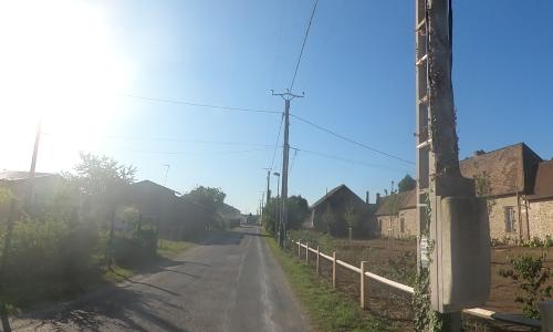
Autheuil-Authouillet (27490) est une commune située dans le département Eure (27) en région Normandie. Cette ville compte approximativement 1001 habitants en 2026 et s'étale sur 11.66 km². Ses habitants sont appelés les Altolien. La commune appartient à l'intercommunalité CA Seine-Eure.